Pages

Friday 25 November 2016

Magazine Gully

25th November 2016

View from top of Magazine Gully
Today's walk started from the corner of Brightwater and Wingara Roads in Howden.
I walked up Wingara Road to the boat ramp and then along  the foreshore alternating between the beach and the track through the reserve. As the tide was in, it was more on the track than the beach. The sandstone on the beach was quite slippery in places.


Magazine Jetty
Looking across North West Bay
As I neared the Magazine Jetty I took a track up to Tinderbox Road and along that for about 800 metres to the start of the Magazine Gully track. This track rose ever so gently up beside Magazine Gully into Tinderbox Reserve.

Track up to Tinderbox Reserve

Magazine Buildings

Magazine Gully

Large Magazine Building

Small Magazine Building

I continued up the track past the Magazine Buildings and then up the walking track to the top of the ridge and then up a small rise to an open area with a good view out to the west.


From here I just followed the old track down to the private property boundary and then steeply downhill to meet the Magazine Gully track once again. I then retraced my steps back to the shoreline and along more of the sandstone as the tide had gone out to some degree.


As I was nearing the car I branched off and walked up the Wingara Gully Track which was a nice little diversion and only added another 30" to the time.

Wingara Gully Track

Wingara Gully

Wingara Gully

Overall, a nice short walk without too much exertion required.
Distance: 12.6 kms.
Time: 3'17"
Ascent: 450 metres
Click here to download GPX file.


Friday 18 November 2016

Peter Murrell Reserve and Tinderbox Hills

Friday 18th November 2016

Tinderbox Hills
I have previously done a fair few walks in Peter Murrell Reserve and also combined some with Tinderbox Hills but have never written anything up about them. So here is one.
I parked at one of the entrances to the reserve just down the road from Mitre 10 and set off, crossing the Coffee Creek Fire Trail and along a walking track to the Sand Flats Fire Trail. This was followed down to meet the Coffee Creek Trail and then an obscure track was taken heading east.

First section of track
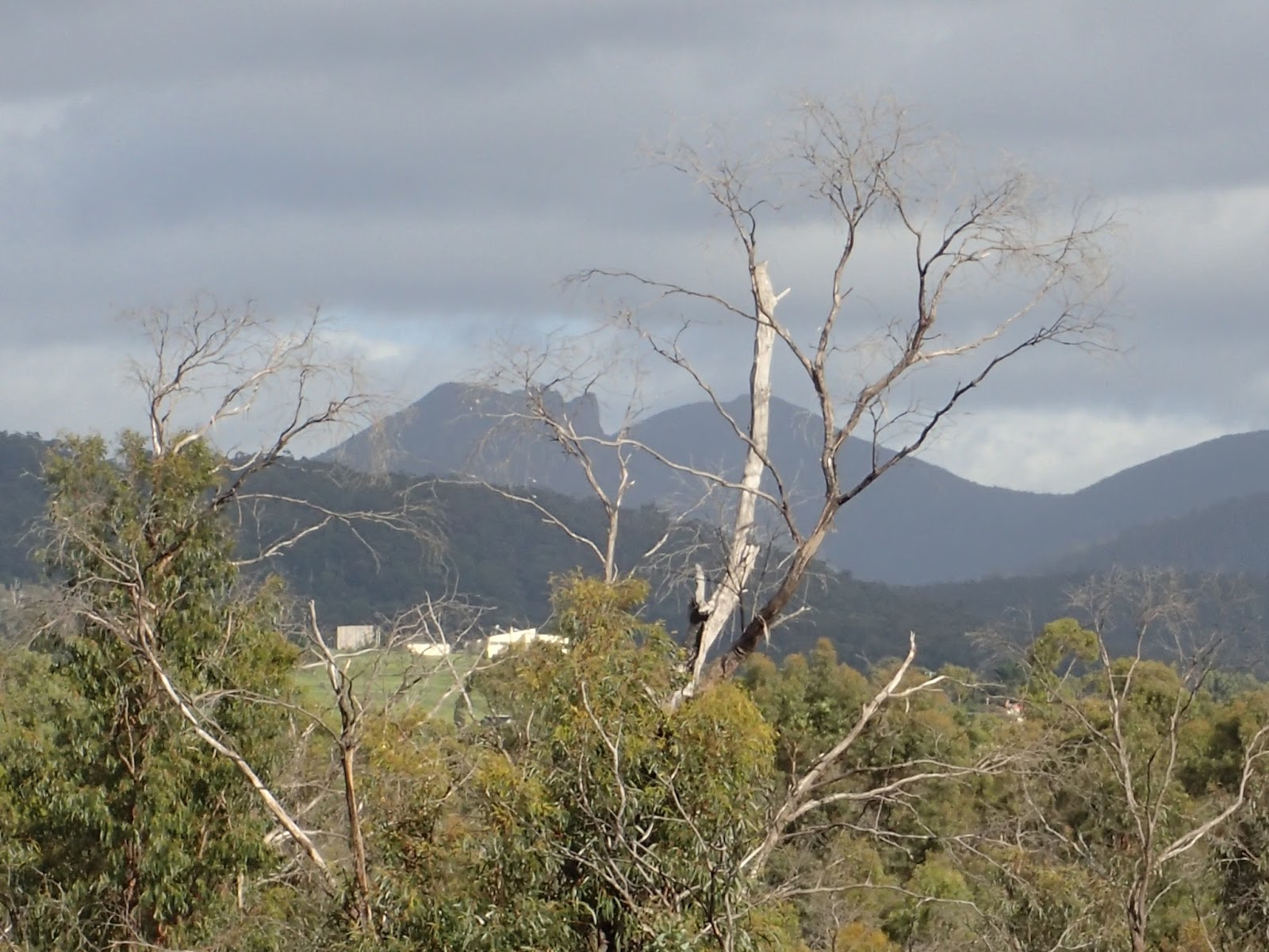
Cathedral Rock

Mount Wellington
This track finally met the Eastern Fire Trail and then Middle Fire Trail before following the eastern boundary of the park around to finally exit at Estuary Drive. There was a short walk up Estuary Drive to the start of the Tinderbox Hills track.

Start of Tinderbox track

Track up further
I came across a fairly new house pad clearance which had stunning views across North West Bay to Margate.

View across to Margate

Panorama across to Margate

House Pad
 The track carried on through some nice open forest before coming to the end from where I retraced my steps back down and reentered Peter Murrell Reserve at the same spot.


Track near top


River Derwent
River Derwent
I walked a short distance south west before picking up another obscure track which was followed down to the southern boundary of the park and then all the way to Howden Road. From here it was a simple matter of reentering the reserve along the Howden Fire Trail, walking along a bush track to Coffee Creek Trail and walking right along that to the car. I did encounter quite a large tiger snake along here but it slithered into the bush very quickly, so they have started to come out with the warmer weather.

Cathedral Rock

Pond on Coffee Creek

Pond on Coffee Creek

Second Pond on Coffee Creek
This is a good easy walk through some nice bush at times.
Distance: 14.4 kms.
Time: 3'27"
Ascent: 400 metres
Click here to download GPX file.


Wednesday 9 November 2016

Bee Tree Hill

Wednesday 9th November 2016
Bee Tree Hill
Bee Tree Hill is an obscure little hill near the Southwood Mill outside of Judbury and the walk to it is quite short. I added a bit more to make it a circuit walk but it was still rather short.
I parked in a forestry road about 750 metres after crossing over the bridge on the Huon River. It was a short distance up Southwood Road to the Bracken Ridge Trail. This was followed uphill for about 3.0 kms. before taking an overgrown track on the left that went up to the top of Bee Tree Hill. Bracken ridge Trail is a designated 4WD track and hence there is some erosion here and there. The track does pass through some nice forest in sections.

Looking across to the Weld

Southwood Mill

Bracken Ridge Trail

Bracken Ridge Trail

Some large trees and nice forest

Track up to Bee Tree Hill
 Once up the top I kept following the track as it went downhill where it did become more overgrown in places but still easy to discern from the surrounding bush. There were no views from the top but I was not expecting any. Once I walked down a fair way I came to a private property sign with quite explicit instructions about what not to do. This was okay as I had not intended going much further, so from here I took to the scrub and walked over to an old track and downhill towards the Huon River.
Once near the river I ventured into the scrub once more to avoid any private property. I think I achieved this but I am not quite sure. I walked along She Oak Road for a short distance before walking over to the river bank and finding a nice spot for morning tea. The river was flowing well.

Huon River

Huon River

Huon River
After the break it was an easy amble back to the car along She Oak Road.

Bridge across the Huon
This was an okay short walk and quite easy.
Distance: 9.3 kms.
Time: 3'07"
Ascent: 480 metres
Click here to download GPX file.