Pages

Thursday, 15 June 2017

Mount Field Waterfalls Circuit

Thursday 15th June 2017

Russell Falls
I did the touristy thing today and walked to a few waterfalls in the Mount Field area, but to add a little section of bush walking, I included Sharpes Falls, which was off track. I had previously been to Russell, Horseshoe and Lady Barron Falls.
I started out from the visitor's centre at National park and walked up to Russell Falls first. I had been waiting for some decent rainfall to do this walk, but became impatient, and decided to do it anyway. The creeks were flowing so it wasn't too disappointing.
Russell Falls

Russell Falls
From Russell Falls it was a short walk up to Horseshoe Falls.
Horseshoe Falls

Horseshoe Falls

Horseshoe Falls
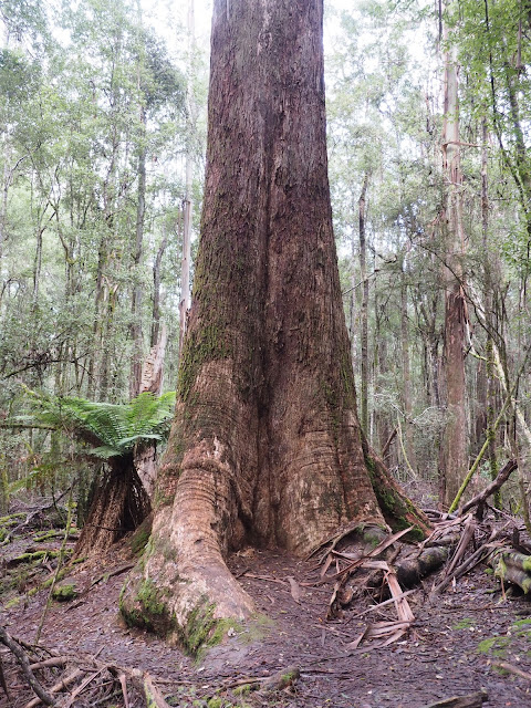
 After Horseshoe Falls the track led to Lady Barron Falls via the Tall Trees walk.


Lady Barron Falls

Lady Barron Falls

Lady Barron Creek
From Lady Barron Falls I crossed the creek and made my way steeply up hill to a forestry road and then along this for a short distance, onto another track, and then in to the scrub. In hindsight I probably could have kept going on the track as I would have ended up at the same place. I encountered another track which I followed down to a good forestry road. I came to a junction and should have turned right but went straight ahead and then walked into the pine plantation in the direction of Sharpes Falls. It was fairly easy going and I soon arrived at the falls. They were a pleasant surprise.
Sharpes Falls

Sharpes Falls

Sharpes Falls

Bottom Sharpes Falls

Sharpes Creek
There were a few tapes at the bottom of the falls which I followed but they soon petered out so I just made my way to the road that I mentioned before. From here it was a easy walk downhill to the Tyenna River and the railway line.

Tyenna River

Derwent Valley Line
I then walked back along the railway line to National Park Station and then to the car.
Weir on Tyenna River

National Park Station

Railtrack Rider Transport
This was a really interesting walk and by starting early I did not see any people until I arrived back at the car.
Distance: 13.4 kms.
Time: 4'27"
Ascent: 360 metres
Click here to download GPX file.


Monday, 12 June 2017

Goat Bluff

Sunday 11th June 2017

Goat Bluff and Betsey Island
A couple of friends of mine had not walked for a while so I wanted to do something relatively flat and Goat Bluff had been on the list for sometime. I offered to shorten it for them but they were keen to do the whole walk. I think they were silently cursing me towards the end as the less than firm sand became a bit tiresome.
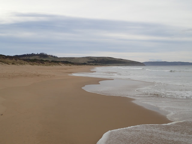
We set off at the end of Roaring Beach Road (also called Hope Beach Road on one map) and walked down to Hope Beach where there were a few surfers braving the cool weather, although today was somewhat warmer than it had been. We headed east along Hope Beach to Goat Bluff, a distance of about 4.5 kms. The weather was slightly overcast but the walking conditions were quite pleasant. The sand on Hope Beach was not entirely firm which made it a bit of a plod but not too bad. We found a convenient log near Goat Bluff for a rest.
Cape Direction

Bruny Island

Looking East along Hope Beach

Looking East along Hope Beach

Looking West along Hope Beach

Betsey Island

Goat Bluff
We then headed up over Goat Bluff, stopping at the lookout before descending to Calverts Beach. There were quite a few surfers on the eastern side of Goat Bluff where I guess were the best waves.
We kept walking along the beach to the eastern end, where there were more surfers, before exiting and walking via the almost full car park to Calverts Lagoon.
Calverts Beach from Goat Bluff

Goat Bluff

Betsey Island and Goat Bluff

Calverts Beach and Cape Contrariety

Catching a wave

Looking West along Calverts Beach
The lagoon was dry except for a small patch of water on the northern side. We simply walked half a circuit of the lagoon before exiting and walking along some of the Tangara Trails and then down to a small beach on Ralphs Bay, where we stopped for lunch.
Calverts Lagoon

Calverts Lagoon

Only water in Calverts Lagoon

Lunch at Ralphs Bay

Lunch at Ralphs Bay
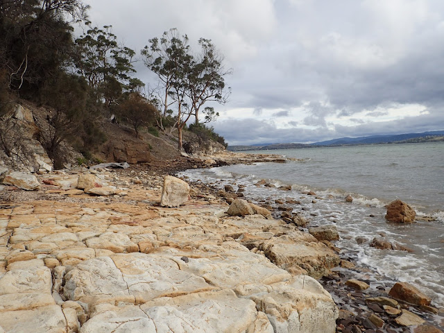
After lunch we continued on the track above the foreshore and then descended to the beach and walked along it and around the rocks to the southern shore of Ralphs Bay. We continued on along South Arm Neck to where it is possible to cross to the ocean side of the neck. By this time we were all getting a little tired and were not relishing the trudge along the sand, but it had to be done.
Heading along the beach at Ralphs Bay

Mount Wellington

Heading towards South Arm Neck
We eventually arrived back at the car and all were glad to see it, I am sure.
This was a really good walk with a variety of scenery and could of course be easily shortened if required.
Distance: 18.7 kms.
Time: 5'36"
Ascent: 260 metres
Click here to download GPX file.