 |
| Middle Hill |
The drive out was quite icy and Judds Creek Road was full of the usual pot holes and ponds. I set off in an easterly direction for 2.3 kms. before leaving the trail and heading into the bush. I wanted to walk along the top of the cliff line that leads up to Middle Hill. The ground was frosty and quite slippery in places.
 |
| Almost Full Moon |
 |
| Frosty White Timber Trail |
 |
| Icy 4WD ruts on White Timber Trail |
 |
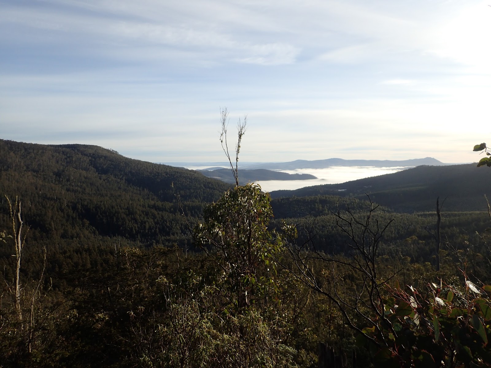
| North from Middle Hill |
 |
| North from Middle Hill |
 |
| North from Middle Hill |
 |
| Middle Hill Summit |
 |
| White Timber Mountain |
 |
| Some Scree on the descent |
 |
| Descent |
 | ||||||||||||
| Descent |
 |
 | |
| Headwaters Lachlan River |
 |
| Track along Lachlan River |
 |
| Some nice forest |
 |
| Jefferys Track |
 |
| White Timber Trail |
Distance: 15.5 kms.
Time: 6'24"
Ascent: 570 metres
Click here to download GPX file.


