Pages

Sunday 26 January 2014

Blakes Opening

Saturday 25th January 2014

Blakes Opening
Blakes Opening was just the destination that I chose to walk to on the Huon Track. The track basically follows the Huon River for quite some distance and provides access to lots of places in the south west wilderness including Mount Picton, Western Arthurs and Melaleuca. Anywhere along the river provides nice scenery.
To reach the starting point, drive out from Geeveston towards Tahune and just before reaching it turn left into Picton Road, straight ahead into Riveaux Road and then right into Quartz Quarry Road and follow to the sign indicating the start of the track.
I arrived at the start point a little after 0800 and just as I was getting ready it started to rain. As much as I detest walking in wet weather gear I decided that I would don my raincoat as it was quite cold. Just as well that I did as the foliage on the track was very wet and I would have soon been saturated.
Section of track
At about 0820 I commenced walking and after a short distance there was an overgrown sign on the right indicating the Huon Track and not long after was the walker registration booth. I noted that a lone walker had registered the previous day to walk to Melaleuca - better him than me I thought.
Not long after registering I became somewhat geographical challenged and actually lost the track for a short while but soon found it again when I walked up to the ridge where I suspected that it would be. I noted my mistake on the way back.
I followed the track for a couple of ks and could then hear the rapids in the river and the track then paralleled the river up to about 3 kms. and then headed across country thus bypassing a bend in the river.
Huon River
The track was okay in some places but in others it was a nightmare of downed trees which required climbing under or over or having to take a detour around. Don't let the track photos fool you as I only managed to take shots of the good sections.
I guess it was not too bad but it did slow me down quite a lot. At about 4.5 kms. the track was back on the riverbank again and continued like that until Blakes Opening. This last section was not too bad and was relatively clear of trees. All along the section of walk along the river bank were great views of the river at various stages and in some sections I had the opportunity to descend to the river itself.
Nice section of track

As I arrived at Blakes Opening there was a tent pitched it the middle of the clearing, all closed up, so I assumed that someone had left for the day, maybe to Mount Picton and was coming back in the afternoon. I did intend to walk to the Mount Picton turnoff so continued on, but, immediately the track became a quagmire so I turned back to the Opening. As I arrived back I heard a zipping noise and this head popped out of the tent. It turned out that it was the guy heading to Melaleuca and he had had a rough day yesterday carrying his heavy pack from Tahune, dodging all the trees, and was sleeping in. I informed him that it was 1100 but he was not perturb and said that he probably should get started soon. After passing the time of day I left him to it, wished him well, and headed back downstream to find a nice lunch spot.
Lunch spot on the Huon
I soon found a good place and clambered down the bank and had a restful break. Soon I was back walking again and reached the car at about 1415.
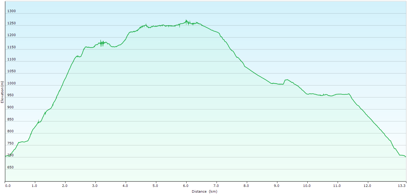
The only rain I had for the day was in the first 30 minutes and it was not too heavy but it was quite cool for most of the walk. The largest ascent on the whole walk is only about 70 metres, so I would describe it as a flat walk and fairly easy except for all the downed trees.
Overall a good walk with nice views of the river.
Distance: 17.7 kms.
Time: 5'52"
Ascent: 430 metres
Click here to download GPX track.
Huon River

Huon River

Blakes Opening

Huon River lunch spot

On the track

Section of track

Huon River


Friday 17 January 2014

Mount Wellington Circuit

Wednesday 15th January 2014

Today, I decided that the walk that we would be doing would be a circuit of Mount Wellington to take in the various views of Hobart and surrounds.
We arrived at The Springs at about 0815 and set off. The first section of the walk was up the Milles track and then the steady climb up the Ice House track, past the first ice house and then to the upper one where we had a look around and ventured into Devils Gulch to get a view of South Wellington summit. We then walked up to the rocks on South Wellington summit where we enjoyed a break and spent time taking photos, or the others did, because I didn't take any today.
After the rest we walked back to the South Wellington track and followed this up to the summit of Mount Wellington where we did the touristy thing and checked out the observation deck. The place was crawling with people and after a while we continued walking down Pinnacle Road to the Panorama track, down this to meet the road once again and then down to The Chalet, where we had lunch. It was quite hot walking along the road, but nothing like yesterday.
Once we were suitably fed we headed down the Organ Pipes track and Zig Zag track back to the car at The Springs.
This was a good walk that provides great views all around.
Distance: 13.3 kms.
Time: 6'10"
Ascent: 658 metres
Click here to download GPX track.


Tarn Shelf

Tuesday 14th January 2014

Lake Seal
Yesterday, Monday, I had friends arrive from Mackay to stay for a few days and to go on a couple of walks in the area. Garry, Jenny and Kathy had flown into Launceston on 29th December with their bicycles and had cycled from there down the east coast to Judbury. One walk I chose to complete was Tarn Shelf in Mount Field National Park as I thought that it showed off some of the beauty of the area and included some varied walking.
We arrived at the starting point at Lake Dobson at 0930 and set off soon after. The first section of the walk to Newdegate Hut was the same as last week's walk to Newdegate Pass. The weather was perfect and the views were great. We had morning tea at the Lake Seal lookout and lunch at Newdegate Hut, where by this time it was beginning to get quite hot so we found a shady spot under some trees.
Overlooking Lake Seal
After a decent break we headed off in the direction of Lake Webster. The track was a little wet in places, but nothing much, really. After about 45 minutes we arrived at Twilight Tarn where there is an old hut from bygone days containing relics from past skiing days. We had a look around inside the hut but could not stay inside too long as the temperature was quite high. We then walked towards Lake Webster and along this section the temperature reached 37 degrees and the air was so dry I had to keep drinking to stop my mouth drying out. After descending for some time we reached the outlet of Lake Webster where we stopped for a time to cool off in the refreshing water.
Overlooking Lake Seal

From here it was a gradual climb back up to the road that services the ski fields. The going was not that easy as the temperature was still high and a few stops had to be made to catch one's breath and rehydrate. Once we reached the road we followed this for a short distance before picking up the Pandani Grove track and walking this back to the car.
A great walk despite the heat and enjoyable to have some company for a change.
Link to Everytrail description 2011.

Distance: 15.3 kms.
Time: 5'55"
Ascent: 582 metres
Click here to download GPX track.

Descent to Rodway Huts

Tarn Shelf

Lake Newdegate

Along the Tarn Shelf
Twilight Tarn Hut 2011

Inside Twilight Tarn Hut 2011

Inside Twilight Tarn Hut 2011

Inside Twilight Tarn Hut 2011

Outlet Lake Webster 2011


Thursday 9 January 2014

Newdegate Pass

Wednesday 8th January 2014

Newdegate Pass
I thought it was about time that I revisited Mount Field National Park so I decided on Newdegate Pass as the walk. I had not done the pass before although I had previously walked the Tarn Shelf and also up over the Rodway Range.
With a favourable weather forcast I left home early and arrived at Lake Dobson just before 0800 and set off walking soon after. The initial section of the walk followed the shores of Lake Dobson before heading up the Urquhart track which eventually met up with the road servicing the ski fields. This was followed uphill past a couple of ski huts before it met up with the Snow Gum track which went further uphill to eventually flatten out at the Lake Seal lookout. The weather was great and the views superb.
Lake Seal
From here the track was mainly on boardwalk for a fair distance before coming to the Tarn Shelf/Rodway junction. At this point it is possible to either walk via the Rodway Range or Tarn Shelf to Newdegate Pass and return either way. I chose to walk via the Tarn Shelf first, so headed downhill past the Rodway hut and ski tow and then along the Shelf past many tarns on the way to Lake Newdegate. The track was quite easy to follow and I arrived at the Lake Newdegate hut about 1000 just in time for morning tea. There was a family of 3 here and they left just as I arrived and went in the direction of the pass. After a short stop I started walking uphill towards the pass and caught up with them on top of the pass, and after a few pleasantries, carried on. The new boardwalk over the pass makes walking very easy now, but I expect it would have been quite sloppy in the past, as there was a lot of water here.
The Watcher
After walking through the pass the track deteriorated somewhat and became quite wet and muddy in places. From this part of the track were great views of The Watcher, Mount Field West and Naturalist Peak etc. etc. There was cloud on Mount Field West but I hung around for a short while hoping it would clear and it eventually did.
The track basically headed in a southerly direction on the western side of the Rodway Range and finally met up with the Mount Field West track at K Col. From here the track went up and over the Rodway Range and met up with the outgoing leg near the Rodway Huts. It was along this section that I started to come across an increasing number of people and some seemed to be ill prepared for what they were doing. Some of them were carrying nothing at all. I just shook my head, especially when one couple asked me if this was the way to Lake Dobson. I tried to explain that they had come from there and it was a long way back via the pass, but the last I saw of them had them heading in that direction. I hope they got back okay.
As I was coming over the Rodway Range there were some tiny patches of snow in the sheltered section and this surprised me. After reaching the Lake Seal lookout I took the Ski Fields track past the ski tows. I had visions of walking down the Golden Stairs track but I decided against that as I was feeling a bit tired and my legs were feeling a little sore and I could do without the scrub bash. I finally arrived back at the car just after 1400. The car park was packed with about thirty cars which surprised me as it was a week day. I guess the weather must have had something to do with that.
Overall a good walk with great views on a good day.
Distance: 15.7 kms.
Time: 6'00"
Ascent: 708 metres
Click here to download GPX track.
Lake Seal and Mount Bridges

Rodway Huts and Tarn Shelf

Tarn Shelf

Lake Newdegate Hut

Lake Newdegate

Rodway Range

Naturalist Peak and Mount Field West

K Col Petersen Memorial Hut

Tyenna Peak in background

Rodway Range ascent with K Col hut in background

Mount Mawson