Saturday 20th September 2014
 |
| Junction of Huon and Weld Rivers - Weld enters on the right |
A friend had suggested that they would like to see some of the Weld area. I had previously done a little walking in the lower reaches of the Weld so I put together a few short walks so we go experience some different aspects of the area. The walks planned were to the junction of the Huon and Weld Rivers, Fletchers Eddy, Reubens Falls and lastly to the giant trees(Centurion and Triarius), which are more in the Arve area.
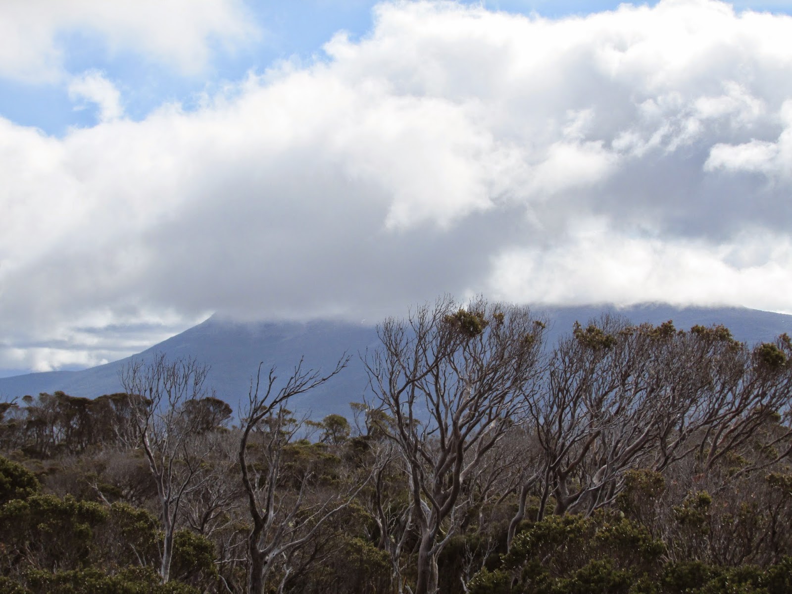
We drove out from Judbury and onto Weld Road and Eddy Road to a 4WD track on the left.
 |
| 4WD track |
Over the last few days we had received some rain so I was expecting that there would be some water lying around and also some mud. Both of these proved to be true. We set off along the track and, after dodging puddles and mud we soon reached the junction of the Huon and Weld Rivers. It was a little hard to get a good view of the junction as it was obscured by vegetation somewhat. Both rivers were flowing particularly strongly. We headed back and reached the car in no time.
Distance: 2.4 kms.
Time: 45"
Ascent: 72 metres
Click here to download GPX file for Huon and Weld junction.
 |
| Fletchers Eddy |
I had to break out a couple of towels to place on the car floor to protect it from muddy boots, as we didn't want to have to take them off each time. Little did I know how useful that would prove. We drove about 2.2 kms. further up the road to Eric Pettets Road on the right and found a convenient parking spot and commenced our walk to Fletchers Eddy.
Initially the track went downhill to Barnback Creek. It was quite muddy and slippery and when we reached the creek there was no other option but to walk through the water. Once on the other side is where it became interesting, as 4WDs had recently been through here and churned it up massively. My friend managed to step in some mud and sink quite a lot thinking it was solid ground. After dodging mud and water we eventually made it to Fletchers Eddy. The Weld was flowing strongly and it presented a beautiful picture. It is indeed a lovely spot. We had a snack and returned to the car. As we were walking up the last rise I managed to slip over in the mud and my friend ended up sinking once again which resulted in particularly muddy boots this time.
 |
| How is this for a muddy good time |
Distance: 4.4 kms.
Time: 1'45"
Ascent: 130 metres
Click here to download GPX file for Fletchers Eddy.
 |
| Fletchers Eddy |
 |
| Fletchers Eddy |
 |
| Fletchers Eddy |
 |
| Huon and Weld junction plus Fletchers Eddy |
The towels definitely came in handy this time. We drove just down the road to the bridge over the Weld and stopped for a look.
 |
| The Weld from the bridge |
 |
| Impressive engineering |
 |
| The Weld from bridge |
From here we drove on up to Glovers Bluff to overlook Fletchers Eddy and the Weld valley and then on to Reubens Falls. South Weld Road now finishes here as the crossing over Isabella Creek has been washed away. The road used to continue on further to provide access to Mount Weld. We walked along the creek on a rain forest type track to Reubens Falls. The track was easy to follow and the falls were really flowing well.
Distance: 2.8 kms.
Time: 1'20"
Ascent: 140 metres
Click here to download GPX file for Reubens Falls.
 |
| This was the road crossing over Isabella Creek |
 |
| Isabella Creek |
 |
| Reubens Falls Track |
 |
| Reubens Falls |
 |
| Reubens Falls |
It was then on to the Giant trees which are more near the Arve area really, but adjacent to the Weld.We drove along Southwood Road across the Huon River and stopped at the bridge for a look see.
 |
| Huon River |
 |
| Huon River |
It was then on to Edwards Link Road and a selection of forestry roads and then a disused track to the starting point of the walk. Along the way we spied a wombat casually walking along the road, which was a real treat. We set off walking, and, much to my surprise we were following a well taped track. I had been expecting a scrub bash, so was it was easy going. The track went uphill through beautiful mossy rain forest country to the trees location. There are 2 trees, Centurion and Triarius. Both are Eucalyptus Regans - Swamp Gum. Centurion is 99.6 metres tall and is the tallest Eucalypt, tallest hardwood and tallest flowering plant in the world, so it is something special. It is supposed to be 500 years old. There are also some other tall specimens around as well. we returned to the car well satisfied with our exploits of the day.
Distance: 1.4 kms.
Time: 50"
Ascent: 107 metres
Obviously the photos below don't do the trees justice as they were absolutely massive. It gave one a special feeling to think that these giants have now been preserved for the rest of there lives.
 |
| Triarius |
 |
| Centurion |
 |
| Triarius |
 |
| Two Giants together |
 |
| Giant trees |