Pages

Thursday 20 October 2016

Lake Webster Circuit

Thursday 20th October 2016

Unnamed peak behind Lake Webster
The aim of today's walk was to do a circuit walk starting at Lake Fenton, up the road to Lake Dobson, along the track to Lake Webster and then back to the car via the Lake Fenton track. Of course it would be easier to have a car at Lake Fenton and one at Lake Dobson to avoid the road walk, but actually it was great scenery as I walked along with all the mountains having a covering of snow. It was only 3.5 kms. between the two lakes and it only took 45" to walk it. I decided to get the road walk over early to avoid having to walk it when there would be much more traffic as normally happens later in the day.
I set off along the short track to the road and then up the road to Lake Dobson. An easy stroll with great scenery.

Start of walk

Roadway

Beside road

Rodway Range

Mawson Plateau

Mawson and Rodway

Mawson Plateau, Rodway Range, Mount Bridges
I was pleasantly surprised by the amount snow around and once I reached Lake Dobson I opted for the Pandani walk around the lake which is always nice.

Lake Dobson

Track around Lake Dobson

Pandani walk

Pandani

Eagle Tarn
I soon passed Eagle Tarn and onto the ski road and finally on to the track to Lake Webster. There were no footprints here so no one had been along it for a few days.

Road to ski lodges

Some little critter had been along here

Start of Lake Webster track

Lake Webster track and my boot prints
Rodway Range and Mount Bridges
The track was easy to follow even though it was covered in snow and I soon reached the turnoff for the Lake Fenton track. The snow did decrease once I reached lower elevation at Lake Webster as one would expect. I knew the next obstacle was going to be the crossing of the Broad River. As expected the level was up from the recent rain and there was no way to get across without either wet feet or wet boots. I opted for wet feet as I hate walking in soggy boots. There was a log spanning the river but there was no way I was going across that as it was so slippery. After a snack I removed my boots and socks and waded across. It was only knee deep in one place. The water was so cold, it was painful...and I mean extremely painful. After drying off my feet I rebooted and headed off towards Lake Fenton.

Broad River

Broad River

Broad River Crossing
 The track meandered up to Kangaroo Moor which is a pleasant area and where I had my first view of Lake Fenton.

Lake Fenton track


Kangaroo Moor

Kangaroo Moor and Lake Fenton
The track skirted around the lake and came quite close to it in places.

Lake Fenton
It did not take too long to reach the outflow of Lake Fenton and here there was a reasonable amount of water coming over the spillway mainly being caused by the strong wind that was blowing. From here it was just a short amble back to the car.

Lake Fenton outflow

Lake Fenton
A really nice short walk with lovely wintry scenery and even shorter with two cars.
Distance: 13.3 kms.
Time: 4'20"
Ascent: 400 metres
Click here to download GPX file.


Tuesday 11 October 2016

Pig Hill

Tuesday 11th October 2016

Pig Hill Summit
Why walk to Pig Hill you might ask...because it is there of course. I had seen it when checking out the maps, so decided it might be worth a visit. It turned out to be a decent walk in the end.
I parked at a small parking/turnaround area on Back River Road in the Magra area near New Norfolk. It is the same starting point as the Handsome Caves walk.
I trudge up the road and then up Handsome Caves Road to a point where the Mount Dromedary Conservation Area intersects the road. I wanted to keep within the public land to avoid any hassles and I pretty much managed to do that. The scrub was reasonably open and the walk went uphill where there were basically three escarpments that had to be scaled. It was not too bad as I managed to find a few gaps in the cliffs to scramble up.


Sandstone Cliffs

Neat Sandstone Cave with dripping water

Sandstone Cliffs
Looking across towards Handsome Caves area
Sandstone Cliffs

Sandstone Cliffs
 Once I had climbed over the cliffs the country leveled out somewhat and I found an old track on the top which I followed for sometime before branching off and heading for the summit. I did encounter one small patch of thicker scrub, but really it was not too bad. I soon started to see small areas of snow from the previous night, but it was melting quickly and mostly dripping from the trees onto my head.


Looking towards New Norfolk


Looking west from near the summit

Platform Peak through the trees
I scouted around on the summit for the highest point and when satisfied I had found it, I made a small cairn. I could see Mount Dromedary in the distance but could not get a decent shot of it. It would be quite easy to walk to the summit of Mount Dromedary from here as it would only entail a short descent to a road and then it would be all on track from there...another day perhaps.
I left the summit and headed back the way I had come, stopping to check out more of the cliffs.


As I was making my way back down the road I came across an echidna trying to make itself inconspicuous by burrowing into the dirt. It was making so much noise that I could not miss it.
It was just a jaunt back to the car and as I reached the car it started raining lightly...very good timing I would say.


This was an interesting walk and I would like to explore more of the cliffs in the area sometime.
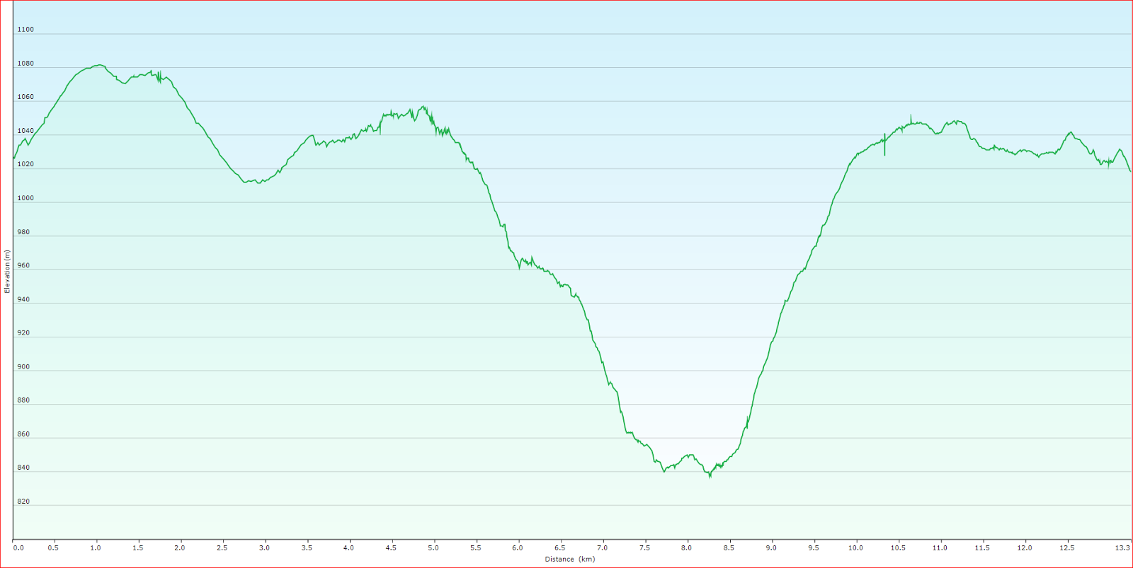
Distance: 8.8 kms.
Time: 5'07"
Ascent: 650 metres
Click here to download GPX file.