Saturday 28th June 2014
 |
| Nicholls Falls - Look closely to see the cascade |
Nicholls Falls has been on my list for a while so I decided to check it out today. I had no information on the falls or if there was any track at all so I thought I would just wing it and see what happened.
To get to the start, drive up Van Moreys Road from Margate and park just before a quarry. The last couple of kilometres are 4WD only, and it is possible to drive much further- all the way to Grey Mountain actually, but I value my vehicle so I park here.
I set off at 0750 along the 4WD track which I have walked quite a few times to various sites in Snug Tiers.
The track as usual contained a lot of water filled holes but these were quite easy to walk around. On my way back to the car I discovered why this was the case.
 |
| Typical condition of the track |
The track went downhill for about 2.0 kms. before I turned left onto the track that goes to Grey Mountain. I followed this to a junction at 4.6 kms. from the start where I turned left onto a side track which I knew led to a water storage dam and hopefully access to Nicholls Falls. It was not long until I crossed over one branch of Nicholls Rivulet and arrived at the dam site. A large log and dirt mound had been placed at the end of the road to stop 4WDs from accessing the dam , but they had made a bypass around this and driven along the dam wall and made a complete quagmire of the place.
 |
| Dam Wall |
This dam along with a larger one further along the Grey Mountain Road provides water for the town of Cygnet and apparently feeds into a reservoir downstream from Nicholls Falls. There was an outlet with a valve more or less at the base of the wall and water was flowing out to provide a flow, albeit small, for Nicholls Rivulet. After checking it out I walked back down the road to try to find an old track. I found a few tapes where the track should have been, so I started following them. The tapes eventually ceased so I just made my way through the scrub and did pick up the track again. When the track ran out I more or less followed the creek downstream, sometimes in the creek, and sometimes high up on the western bank. As I neared the falls I had to descend quite steeply to the top of the falls. I was actually sliding down on my posterior in some places, which is something I rarely do, but there was nothing to hang onto.
 |
| Looking back up Nicholls Rivulet at the top of the falls |
I took me 1'10" to scrub bash the 1.0 km. to the top of the falls. The rocks were as if I was standing on wet glass so I wasn't getting anywhere near the edge as there was a shear drop. I gingerly had a look and then kept climbing down to see if I could get a decent look at the falls. The view was not great but I could see the water cascading down, although it is not apparent in the photos. Trust me, there was some flow.
 |
| Looking South from top of Falls |
I decided not to go down any further as it was quite steep and I didn't know if the views would have been any better. Maybe on the eastern side would be a better outlook as there were some rocky outcrops.
 |
| The eastern bank of Nicholls Rivulet from just below the top of Falls |
I had some lunch and walked back upstream, roughly following my steps and came across the junction of the eastern and western branches of Nicholls Rivulet. The western one, from the larger storeage dam was flowing about the same as the eastern one. As I neared the Grey Mountain track I could hear motor bikes and soon came across four of them, closely followed by four 4WDs. As I walked backed to the car I encountered 3 more bikes and 4 more 4WDs. It is easy to see why the track gets churned up. Although they are permitted to drive on the Grey Mountain track and also the Pelverata Falls track, they don't just stay on these tracks and seem to drive anywhere they please. I arrived back at the car at 1320 to a light sprinkle of rain.
This was not a bad walk although the view of the falls was pretty limited. I had a good day anyway.
Distance: 13.4 kms.
Time: 5'30"
Ascent: 400 metres
Click here to download GPX track.
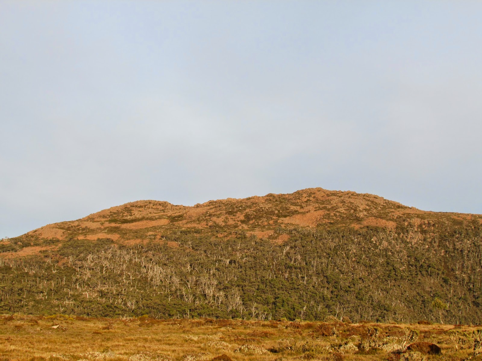
 |
| Snug Plains |
 |
| Snug Plains |
 |
| Dam |
 |
| Obstruction to stop access to Dam wall |
 |
| Gorge below Nicholls Falls |