Wednesday 11th June 2014
 |
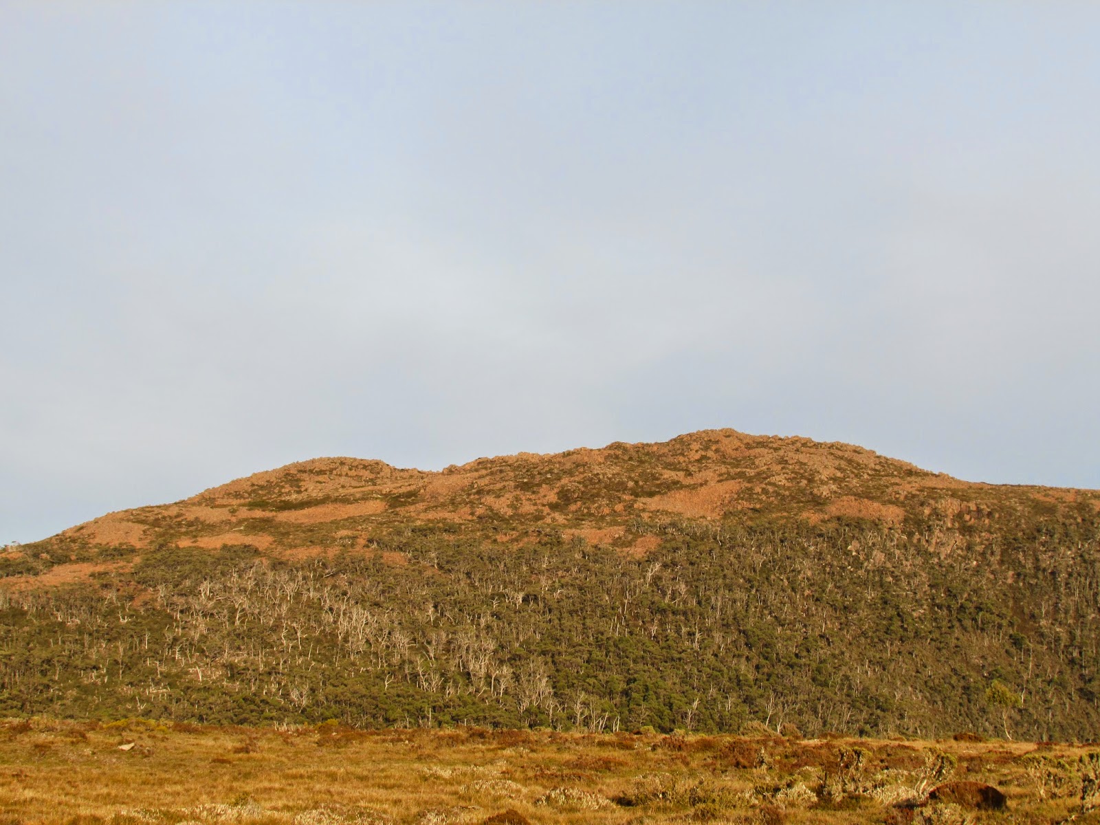
| Mount Mawson from Wombat Moor car park |
This walk started from the Wombat Moor car park on Lake Dobson Road in Mount Field National Park.
To reach here, drive out from Hobart, turn left at Westerway and drive to Mount Field National Park, then up Lake Dobson Road and 1.5 kms. past Lake Fenton to the car park.
It was a little foggy when I left home, but as I was driving along the Derwent the fog became thicker and I wasn't sure how things would turn out. I need not have worried as the fog disappeared once I started heading west towards Mount Field and it turned into a wonderful clear day.
 |
| New boardwalk |
I began at 0826 on some new boardwalk that had been installed since I was here last. It was not as cold as I had been expecting and very pleasant walking. The boards did not last long and soon I was on the usual sort of track. This is actually the track to Lake Belton.
 |
| After the boardwalk |
It was a little wet across Wombat Moor, but not enough to wet my boots and soon I entered a copse of trees and climbed to the top of a ridge where the route up to the summit was quite obvious. There was a lot of fog to be seen in the valleys below.
 |
| Fog in the valley below |
The final ascent was easy via a small scree field and then on to the top.
 |
| Ascent via scree field |
I climbed up what I thought was the highest peak but have since found that it was not quite the highest. There are three peaks, 1314, 1316 and 1318 metres and I climbed the lowest one, but that does not concern me in the slightest as I had a great view from where I was. After climbing down I set off on an exploration of the plateau.
 |
| Lake Dobson |
My first exercise was to head north to a vantage point overlooking Lake Dobson where there were great views. Next I went south west to the western side of the plateau to a lookout spot that provided fantastic scenery out to the west and also overlooked Lake Belton and the Humbodlt River.
 |
| Lake Belton and Humboldt River |
It was very clear and the mountains out to the west seemed to go on forever. It was great. Next I walked along the side of the plateau in a north west direction to another lookout spot where there were similar great views. After lunch I walked north west to try to find the Southwest Lookout track. The track was not very obvious so I just headed for the ski tow in the distance. Upon reaching this I descended under the tow to pick up the Golden Stairs track and walked down this to lake Dobson. This track is becoming overgrown somewhat but is generally easy to follow. After reaching the Lake Dobson car park I just walked back up the road to the car.
This is a great short walk with fantastic alpine scenery.
Distance: 9.6 kms.
Time: 4'25"
Ascent: 435 metres
Click here to download GPX track.
 |
| Ice on track |
 |
| Tyenna Peak |
 |
| Tyenna Peak and Florentine Peak |
 |
| Frozen pond on plateau |
 |
| Mount Mawson |
 |
| Humboldt River |


No comments :
Post a Comment