 |
| "Grasstree Hill Falls" |
I set off from the car park at Risdon Brook Reservoir and turned off the main track at the inlet on the eastern side.
 |
| Risdon Brook Reservoir |
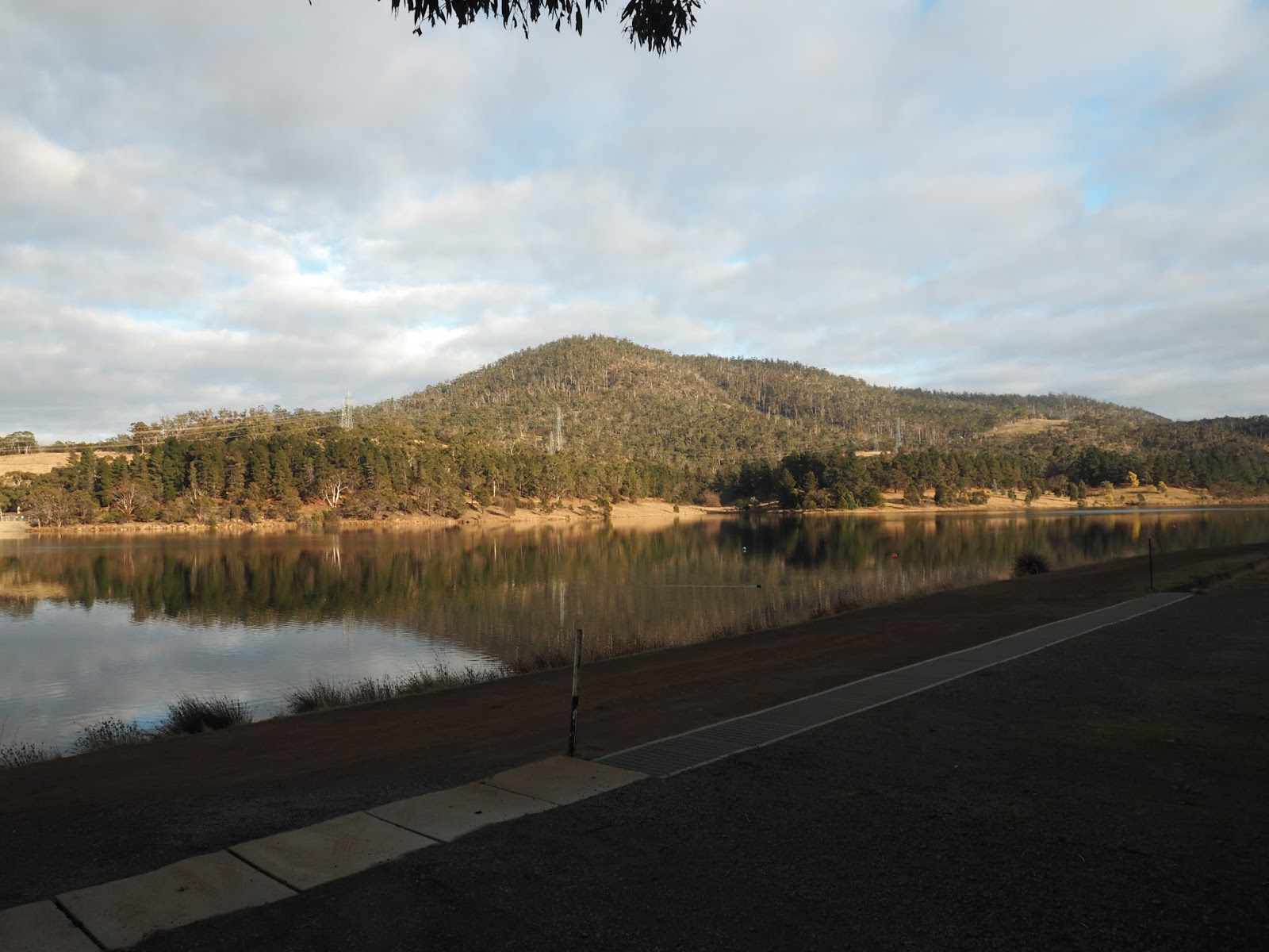 |
| Risdon Brook Reservoir |
 |
| Beside track |
 |
| Beside track |
 |
| Beside track |
 |
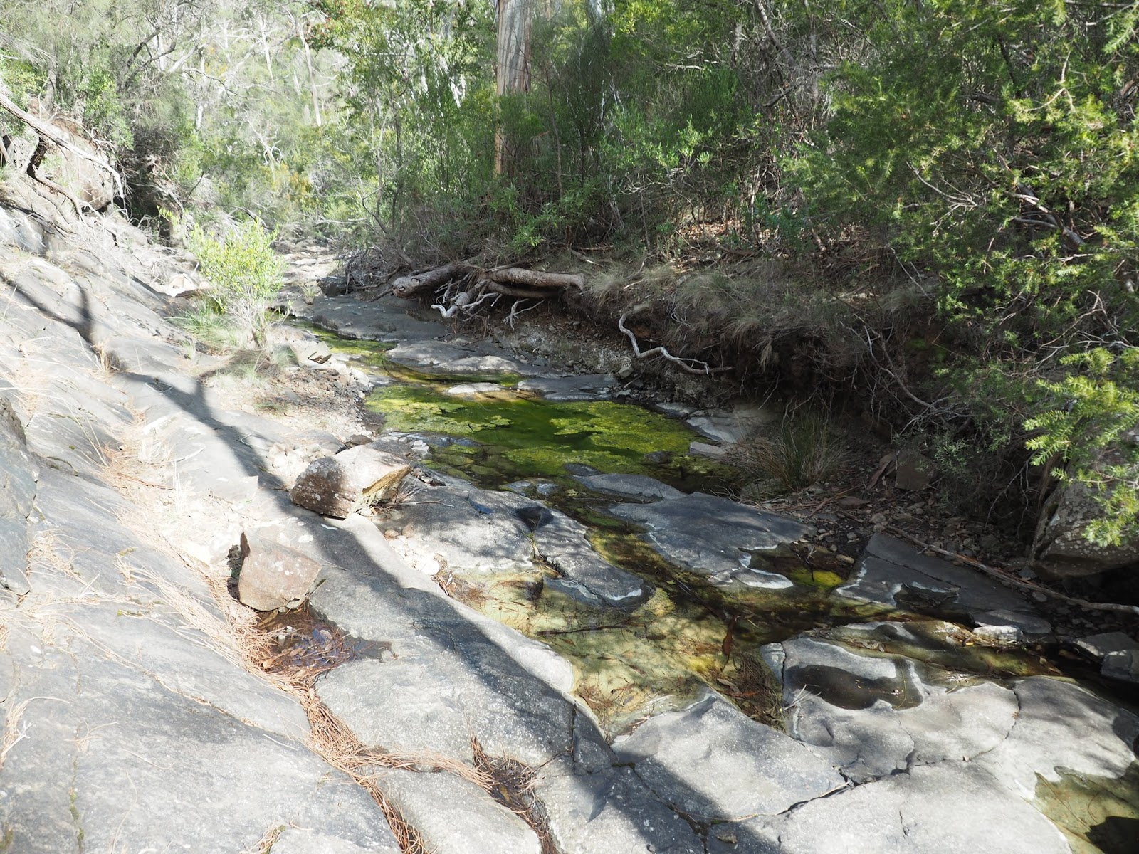
| In Rivulet Gully |
 |
| Risdon Vale from top of falls |
 |
 |
| Nice forest |
 |
| From Hill |
 |
| Madmans Hill and Gunners quoin |
 |
| From Hill |
 |
| From Hill |
 |
| On hill |


Once I reached the Grasstree Hill track I walked along it for a short distance before heading west along a ridge line. I wanted to check out a rocky outcrop at the end of this ridge. It was easy walking and as I neared the end of the ridge and the cliffs it became rockier but still okay walking.
 |
| Rocky Ridge |
 |
| Looking down from cliffs |
 |
| Gunners Quoin |
 |
| Looking down from cliffs to Risdon Brook |
 |
| Risdon Brook |
 |
| Risdon Brook |
 |
| Risdon Brook |
 |
| Risdon Brook |
This was a good walk despite the falls disappointment and some of it is off track.
Distance: 11.7 kms.
Time: 5'05"
Ascent: 570 metres
Click here to download GPX file.


