Pages

Sunday 28 February 2016

Mystery Creek Cave

Sunday 28th February 2016

Mystery Creek Cave
I have called this walk Mystery Creek Cave but it was not supposed to be that. My intention was to walk up Moonlight Ridge to probably Moonlight Creek and return but due to unexpected circumstances the walk had to be substantially shortened and we visited the cave on the way back.
Access is via South Lune Road which turns off the highway just past Ida Bay. There is a car park and walk registration booth.
We set off up the old abandoned railway track corridor and it was very easy walking to the quarry.
Old Rail Corridor
There were plenty of relics beside the track and at the quarry.


We started the climb up Moonlight Ridge and all was going well until I heard a faint cooee from down below. After retracing my steps down about 100 metres I found one of the party in a little distress with shortness of breath, which was unusual as he normally has no trouble walking at my pace. We had a discussion about different plans but opted to abandon the walk and visit the cave on the way back, just to be on the safe side.
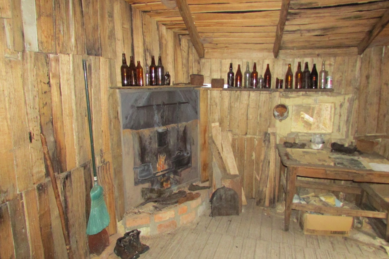
It was a short walk from the quarry to the cave and was worth the visit.


When we arrived back at the car it did start raining, so we probably would not had any views from up higher on the ridge and we would also have been very wet and miserable.
What we did of the walk was quite good.  The return walk to the cave is about 4.0 kms. and quite flat.
Distance: 6.0 kms
Time: 2'45"
Ascent: 260 metres
Click here to download GPX file.


Friday 19 February 2016

Arthurs Peak

Thursday 18th February 2016

Crescent Mountain in the rain
 Unfortunately, I did not choose a very good day weather wise to do this walk today as it was rainy and windy, but apart from that it was a nice walk. I had been to Arthurs Peak before but wanted to check out some more of the Three Capes Track, so I decided to combine the two.
It was quite fine when I left home but it started raining about halfway down to the Tasman Peninsula. Of course I was optimistic that it would clear up. It didn't really.
I set off from the car park at Fortescue Bay and along the old Cape Pillar track for about an hour to the Arthurs Peak turnoff. There used to be a sign here but that has been removed. A few cairns still mark the junction.
Sign at the start of Cape Pillar track

Start of Arthurs Peak track
The rain persisted as I walked along the Arthurs Peak track. The track is more overgrown now than when I last did it but it can be followed reasonably easily, requiring some pushing through the scrub in places. I reached the base of Arthurs Peak and climbed up coming upon a boot cleaning station on the track, which is new. After that it was a short walk up to the Three Capes Track. This track climbed steeply up to Arthurs Peak via stone steps which was easier than walking along the cliff edge, but not as much fun. At the top I met six walkers doing the Three Capes Track and they had come from the Surveyors Cove huts that morning and were going to Munro camp on Cape Pillar.
There was no view at all from here as visibility was no more than 50 metres. I got out my camera to take some shots anyway and discovered that it was not working. I think it ingested some rainwater and refused to work. I started down the Three Capes Track and then remembered that I had my phone with me so took a few photos along the way which are not real good but I will include them anyway.
Three Capes Track

Three Capes Track
 There is a sign at this seat with a story about it. Apparently it was supposed to be located 1.0 km. further along the track but could not be placed there due to nesting eagles which tend to attack helicopters. They tried to relocate it by hand but it is too heavy. The photo does not convey the size properly, as it is quite large.
Three Capes Track

On Three Capes Track
As I reached an open area of the track the skies partially cleared for a moment to grab a few quick photos.


The track now left the coast line and headed inland through some nice forest to eventually arrive at the old Cape Pillar track junction. Along the way was another elaborate seat.
Three Capes Track

"Love in the Woods" seat

"Love in the Woods" seat

Sign on Three Capes Track at junction with Cape Pillar Track

Cape Pillar track junction
Once I reached here it was simply a matter of following the old Cape Pillar track back to the car.
This was an enjoyable walk despite the weather and for some better photos check out my previous post here.
Distance: 19.8 kms.
Time: 5'43"
Ascent: 600 metres
Click here to download GPX file.


Sunday 7 February 2016

Churchills Hut

Saturday 6th February 2016

Churchills Hut
One of my friends had expressed an interest in seeing Churchills Hut out in the Florentine area so today seemed an ideal day to check it out.
We drove out from Judbury via the Plenty Link Road and then through Maydena and parked at the start of the Timbs Track which is about 21 kms. further along the road past Maydena. It is clearly marked.
The track had quite a few trees down across it but it was nice walking through a mossy forest. The track was dry but would obviously be rather boggy after rain. Soon the forest ceased and we out into more open country where we came upon Tiger Lookout. There were good views of the surrounding country from here, even though there was some smoke haze from the fires.
From Lookout

From Lookout

Track heading down from lookout to Adamsfield Track
 We then headed down the track to the junction with the Adamsfield Track and took the left track down to the Florentine River. In no time we came upon Ewe's Inn which is a quaint hut that has been recently restored.
Adamsfield Track junction

Track to Florentine River

Ewe's Inn

Ewe's Inn

Ewe's Inn

Ewe's Inn
After spending some time at the hut we ventured on to the Florentine River which was a pleasant spot. Logs which were spanning the river would provide a convenient way of crossing. There were remnants of a old hut and various other bits and pieces.
At Florentine River

At Florentine River

Florentine River

Florentine River

At Florentine River
We had a look around and then returned to the previous junction and took the right fork towards Churchills Hut. There were some large trees along the track named the "Burly Giants".
Adamsfield Track towards Churchills Hut

Burly Giant

Burly Giant
The track had a base of logs in places and the remains of bridges in a couple of spots. The bridge across the Little Florentine river is gone but there are logs available to cross.
Adamsfield Track

Adamsfield Track

Little Florentine River crossing

Little Florentine River crossing
About 50 minutes from leaving the track junction we reached Churchills Hut which was located just beside the track. It has also been restored and was in reasonable condition with a few relics located inside.
Churchills Hut

Churchills Hut

Churchills Hut

Churchills Hut

Churchills Hut

Churchills Hut

Churchills Hut
We had a good look around, a bite of lunch and then headed off on a taped track on the left of the hut that led to a logging coup and then a logging road. This we followed until it met Cooks Track.
Cooks Track started off okay with the occasional small tree down across it but it finally deteriorated to a very overgrown path which was hard to discern in places. There were tapes here and there but it was quite a scrub bash for a couple of kms.. Anyway, we eventually reached a better part of the track and soon emerged on to Gordon River Road, and then it was a short amble of 800 metres up the bitumen to the car.
This was an excellent walk with lots to see, but if you don't like a scrub bash, it is probably best to return to the car from Churchills Hut the way you came.
Distance: 15.4 kms.
Time: 5'15"
Ascent: 330 metres
Click here to download GPX file.