Friday 3rd October 2014
 |
| Davis Lookout from hill before |
I had not been to Davis Lookout before, so with the promise of good weather, I left home early and arrived at the walk start ready to go at 0800. The unsealed section of road up to Mount Field was in poor condition with lots of corrugations that wanted to shake the car to pieces, so I just had to go slowly. The walk starts at the upper Mount Field East car park, adjacent to Lake Fenton.
 |
| Lake Fenton |
The track initially crossed over the outlet of Lake Fenton which supplies drinking water to Hobart and then climbed steadily before descending slightly to Windy Moor. There was low cloud in the distance but I was hopeful that it would lift later on. This proved to be the case as it turned into a perfect spring day. As I descended to Windy Moor I thought I could see Davis Lookout in the distance but this later proved to be the hill before it. Mount Field East was also clearly visible.
 |
| Mount Field East from the track |
As soon as I reached Windy Moor I turned left and headed off track across the moor towards Davis Lookout. The ground underfoot was soft and uneven which slowed progress somewhat. There were also many water filled puddles and ponds and some small flowing streams. There were some animals pads to follow in various places. I presume they were made by wombats as there was plenty of dung around.
 |
| Small stream on Windy Moor |
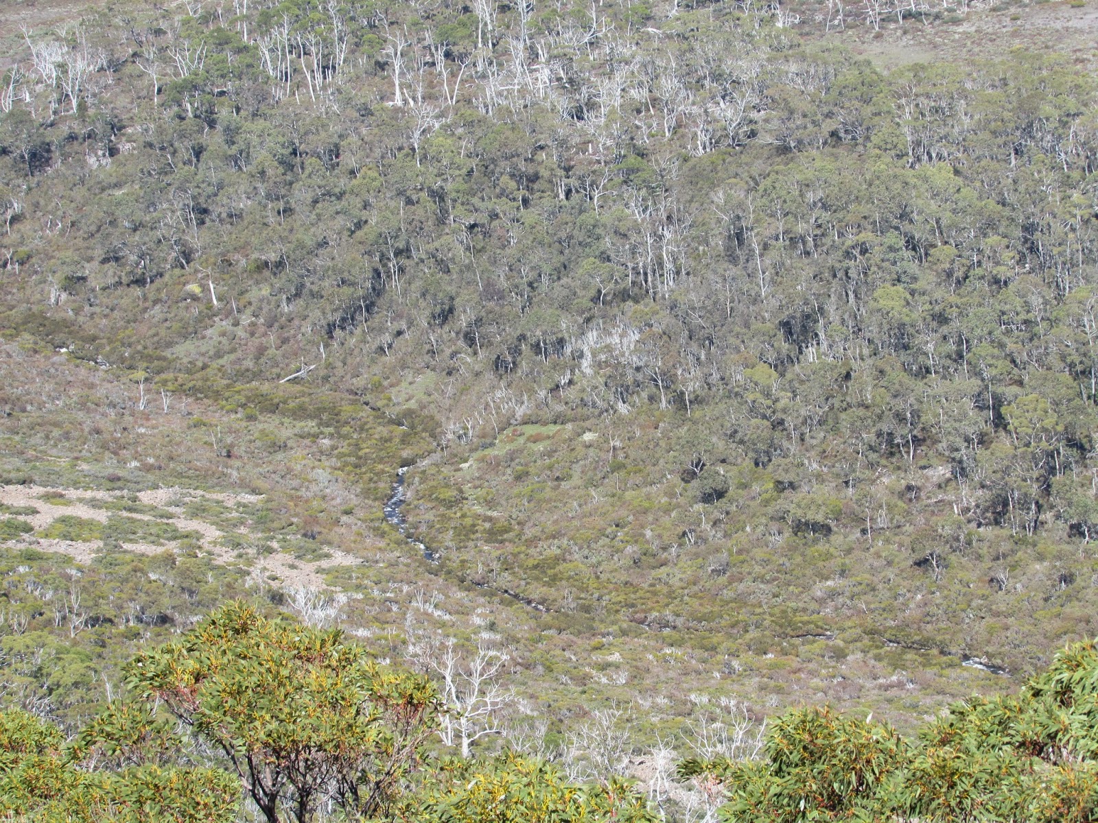
I headed towards a wooded section which turned out to be much easier walking. After crossing this it was back on the moor like country again before crossing another wooded area. I then walked across more low country before finally reaching the start of the final ascent section. I climbed up to one summit to discover that Davis Lookout was actually the next peak along. I almost stepped on a small tiger snake here. After a short descent and ascent I was standing on the top. There were spectacular views all around and I could hear the Davis River roaring in the valley below.
 |
| Summit Cairn Davis Lookout |
After soaking in the views and an early lunch I headed back the way I had come. I did managed to step in a few waterholes on the way back as I became tired from constantly having to lift my feet in the soft terrain. I was quite pleased to be finally back on the track. It was then an easy walk back to the car.
This was an excellent walk with great views.
Distance: 12.6 kms.
Time: 6'00"
Ascent: 435 metres
Click here to download GPX file.
 |
| Rodway Range from hill before lookout |
 |
| Rodway Range from hill before lookout |
 |
| Mount Field East from hill before lookout |
 |
| Rodway Range from Davis Lookout |
 |
| Rodway Range from Davis Lookout |
 |
| Rodway Range from Davis Lookout |
 |
| North West from Davis Lookout |
 |
| Looking back across Windy Moor from Davis Lookout |
 |
| Davis River from Davis Lookout |


No comments :
Post a Comment