Wednesday 16th September 2015
 |
| Esperance River |
Today's walk was along the Esperance River in the Raminea Plains area.
The walk start was on an old side track off Esperance River Road which turns off the highway at Strathblane. I had been here before when I walked Raminea Plains last year.
I set off up the old track that headed towards the river and turned south east to hopefully pick up another track that should go along the riverbank in a northerly direction. Well, I did find the track, eventually, but it was severely overgrown, but having come this far I persevered with it until I came to a clearer track. There was not a great deal to see along this section anyway so it is probably best to avoid this part and take the short cut I used on the way back. It is overgrown also but is much shorter.
The track carried on along the river where there were plenty of spots to go down to the bank and check out the scenery. I soon reached the bridge on Esperance River Road that spans the river.
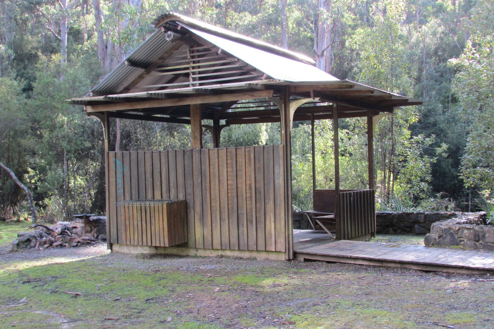
There were camping spots on either side of the bridge and the western side has a picnic shelter, BBQ and toilet. After crossing the bridge I once more headed to the bank of the river and walked along an old track.
 |
| From the Bridge |
 |
| From the Bridge |
I continued on and the track seemed to peter out and then I was following a faint pad (human or animal, I am not sure) but this also disappeared and then I was bush bashing through cutting grass and assorted scrub. I was trying to cut straight across to the river but the scrub was too bad, so elected to walk out to the road and follow a track I knew was there back down to the river. This worked out okay and I finally reached the area I had been aiming for. This was a nice spot where there were more camping spots and a river crossing of sorts.
 |
| Camping area |
 |
| Some one has been clever |
 |
| River crossing |
I walked up and down the river trying to find a place where I could cross without getting my boots wet, but decided to opt for safety and walk in the water. The rocks were simply too slippery to provide a easy crossing. I found a stick to steady myself and crossed over. The water was up to my knees in places but not flowing too swiftly. I then sloshed uphill on an old track to a road and down another track to a point where the river does an S bend. This was a lovely spot and my destination.
 |
| At the S bend |
 |
| At the S bend |
 |
| Some one else has been clever |
 |
| Downstream of the S bend |
From here I walked back along the bank to the river crossing and then back along the road and various tracks to the car.
This was a very enjoyable walk and the river scenery was very pretty.
Distance: 11.4 kms.
Time: 4'33"
Ascent: 156 metres
Click here to download GPX file.


No comments :
Post a Comment