Pages

Tuesday, 18 April 2017

Calverts Hill

Tuesday 18th April 2017

Calverts Hill
Whilst the photo of Calverts Hill does not look too impressive the walk along the coast and the views from the top of the hill were quite splendid. The walk is all in a reserve of one description or another and Calverts Hill is in a nature reserve.
I parked the car at Lauderdale near the canal and headed off along Roches Beach where there were very few people out and about despite it being school holidays. Once I reached the rocky section where the rocks were getting bigger and more plentiful, I headed up to pick up the track around Mays Point.
Roches Beach

Roches Beach

Heading towards the rocks on Roches Beach
The track descended to Mays Beach which is a nice little area.
From Mays Point

Track around Mays Point

Mays Beach

Mays Point

Mays Beach
At the end of Mays Beach the track began again and followed the coastline around. There was a nice eagle sculpture in a residence along here.  The track eventually met a fence line which I  had to walk along and down to reach the beach.


I walked along the rocky beach for a short time before climbing back up a short distance to the track which followed the coast along to the Calverts Hill Nature Reserve. It was all easy walking.
Beach below Mays Hill

Beach below Mays Hill

Towards Tasman Peninsula

Towards Tasman Peninsula

Walking track along coast

Track in Calverts Hill Nature Reserve
Once I reached the turnoff for Calverts Hill, I just walked along the track up to the trig point and then back down to the coast once again. There were great views from the summit.
Back towards Lauderdale

Sloping Island

Mount Wellington

Trig Point

Towards Cremorne
The track carried on down to Cremorne Beach and I walked along the beach and around the point and back along Frederick Henry Parade to the beach once again.
One of the little beaches along the way

Cremorne and Pipe Clay Head

Cremorne Beach

Cremorne Beach.
From here I retraced my steps with a short detour to a nice lookout point just north of Cremorne Beach.
From lookout

From Lookout
As I was getting back towards Mays Beach the new ferry built by Incat here in Hobart was doing some sea trials. Apparently it can carry 1000 passengers and 411 cars and from what I saw it can go very fast also.


This was a really good easy walk and of coarse could be shortened a fair bit by having a car at Lauderdale and one at Cremorne, but the out and back walk was quite interesting.
Distance: 18.5 kms.
Time: 5'10"
Ascent: 530 metres
Click here to download GPX file.


Monday, 10 April 2017

Orford

Monday 10th April 2017

Towards Spring Beach
Today was not a typical bush walk because it was mostly all on formed tracks and was rather flat, but never the less it was a good walk of 15.0 kms.
We started at a car park at Raspins Beach and walked southwards along the coast to the bridge over the Prosser River. After crossing the bridge we carried on along the good track.
Raspins Beach and Maria Island

Raspins Beach and Luther Point

Bridge over Orford Rivulet

Orford Rivulet
The track crossed Orford Rivulet and carried on parallel to Orford Beach before leading down to Shelly Beach, along which we walked for a short time before regaining the track. Just up ahead we stopped for a snack on a convenient log at Luther Point.
Shelly Beach

Shelly Beach

Sandstone on Shelly Beach

At Luther Point

Old Boat Winch at Luther Point
After Luther Point the track gradually climbed up around Quarry Point, where there were really good views and then descended to Spring Beach, which we decided was to be our destination. We could have carried on to Stapleton Beach but opted not to. It was a pleasant spot for an early lunch.
Prosser Bay

Example of good track at Quarry Point

Maria Island

Prosser Bay

Spring Beach

Maria Island and Spring Beach

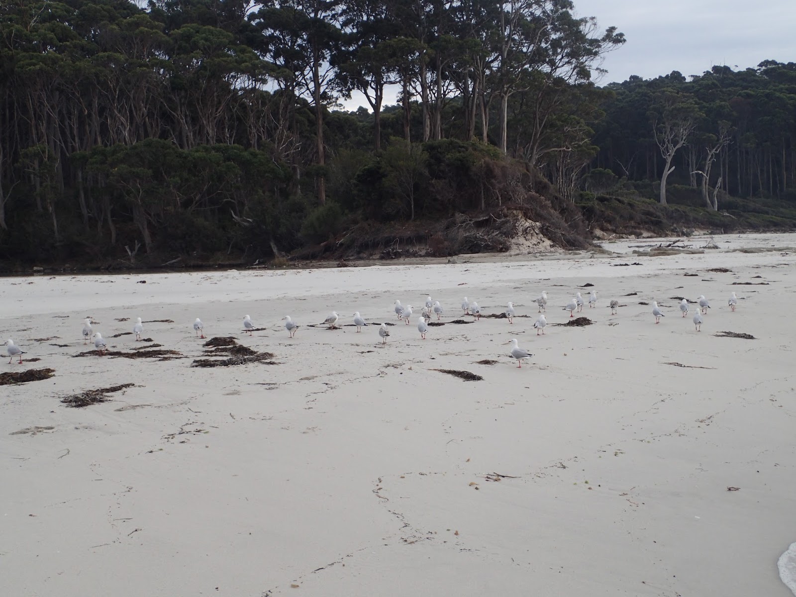
Token Seagull

Northern Tip of Spring Beach

Spring Beach

Sandstone Cliffs Spring Beach
After lunch we simply retraced our steps to the car.
This was a very good easy walk with great coastal scenery.
Distance: 15.0 kms.
Time: 3'58"
Ascent: 180 metres
Click here to down load GPX file.


Saturday, 8 April 2017

Dolomieu Point

Saturday 8th April 2017

Dolomieu Point
Unfortunately for us, Forestry had been doing fuel reductions burns over a wide area in the south and the sky was fairly smoky, which made some of the photos a bit hazy, but it was still a good walk. It is 6 years since I last did this walk. How time flies.
The walk starts at Fortescue Bay and to get there just head down towards Port Arthur and take the obvious turnoff a few kms. past Taranna. The gravel road is severely potholed but is 2WD.
We set off along the beach and soon left it on to the track.
Fortescue Bay

Fortescue Bay

Fortescue Bay with Dolomieu Point in the distance

Fortescue Bay
It was easy walking and we soon found a nice rocky outcrop to stop for morning tea.
From rest stop

From rest stop
It did not take long before we arrived at Canoe Bay where there is the wreck of the William Pitt.
The William Pitt
About halfway along the track you will come to Canoe Bay, where the remains of a shipwreck can be clearly seen above the waterline. Built in the UK in 1904, the ship was a steam hopper barge named Andre Reboulas,  later sold to the Dutch.
In 1907 she was renamed William Pitt and sold in Melbourne. She came to Hobart in 1940 for use in the construction of the floating Arch Bridge across the Derwent River. She was later scuttled in 1955 to act as a breakwater for small craft in Canoe Bay.
William Pitt

Canoe Bay

Cape Hauy from Canoe Bay

William Pitt
 There is a quaint suspension bridge to cross which used to have a sign on either end displaying the carrying capacity of the bridge, but they have been removed. It used to be 1 person with backpack.
 After this there was a climb up and then a descent into Bivouac Bay where there is a camping ground and toilet. The camping ground was unoccupied.

Track between Canoe and Bivouac Bays

Bivouac Bay
After Bivouac Bay there was a bit of a climb up to Dolomieu Point where there are great views from the high cliffs. We went to the lookout rocks and then down to where the rock climbers go over the edge where we had lunch.
Thumbs Point from lookout

From lookout

Thumbs Point

Coastal Cliffs
After lunch we headed back and started to encounter a few people as we went along. As we were getting closer to Fortescue Bay we met a group of scouts heading up to camp at Bivouac Bay.
A smoky Cape Hauy

Northern end Fortescue Bay
This is a really good walk with fantastic coastal scenery. Of course there is the option of only walking to Canoe or Bivouac Bays but then the grandeur of the sea cliffs will be missed.
Distance: 12.9 kms.
Time: 4'54" (3'45" when I did it solo 6 years ago)
Ascent: 560 metres
Click here to download GPX file.